


Base Layer
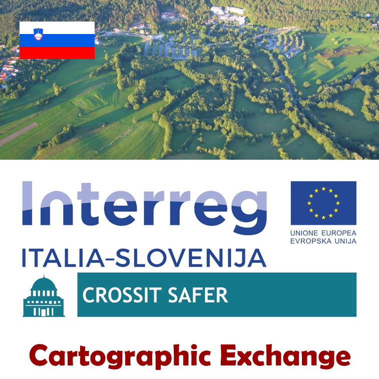
- Title
- Cartography exchange project 3.2 (SLO)
- Description
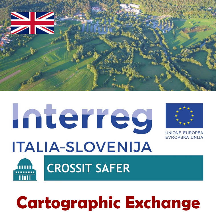
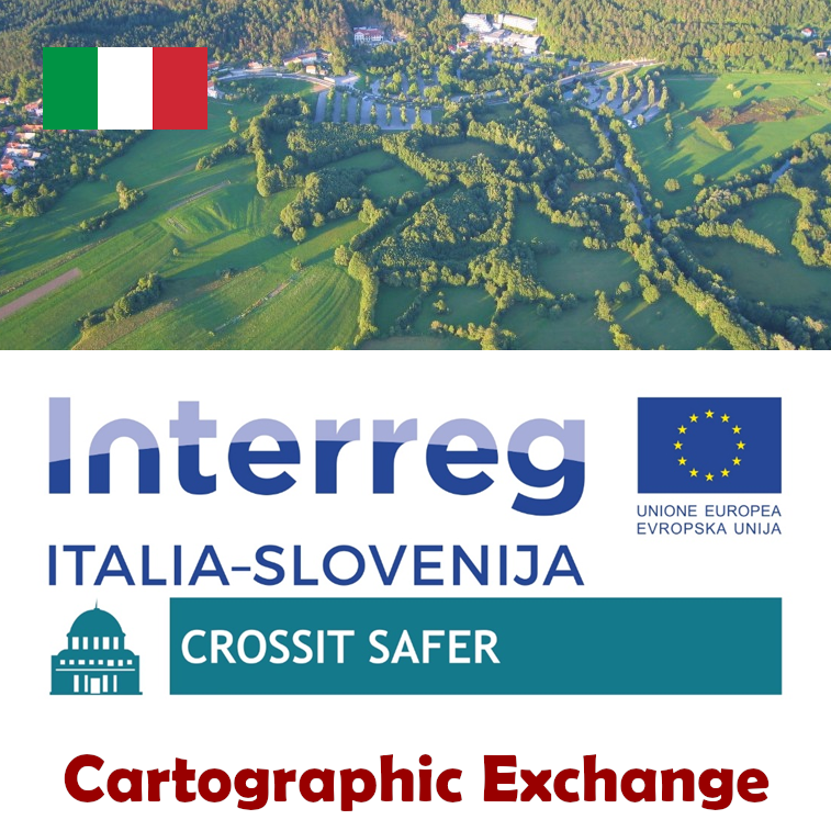
CROSSIT SAFER
Čezmejno sodelovanje med Slovenijo in Italijo za varnejšo regijo
© EuroGeographics za upravne meje- protciv (at) cittametropolitana.ve.it
- Phone
- +39 041 2501171 / +39 041 2501201
- Website
- https://www.ita-slo.eu/sl/crossit-safer
- Projection
- EPSG:32633
- Extent
- 127325.07309999999415595, 4956014.21769999992102385, 560490.73320000001695007, 5161897.33820000011473894
- Web Map Service
- WMS Url
- WMTS Url