Politiche ambientali

  • project image
    SITA - Vincoli e sistemi ambientali

    Load the map View metadata

  • project image
    Ortofoto Storiche Città metropolitana di Venezia

    Load the map View metadata

Progetto CROSSIT SAFER

  • project image
    Cartography exchange project 3.2 (ENG)

    Load the map View metadata

  • project image
    Cartography exchange project 3.2 (ITA)

    Load the map View metadata

  • project image
    Cartography exchange project 3.2 (SLO)

    Load the map View metadata

Informazioni sanitarie

  • project image
    Farmacie di turno

    Load the map View metadata

Trasporti

  • project image
    conteggi

    Load the map View metadata

  • project image
    Domanda "Trasporti"

    Load the map View metadata

  • project image
    Domanda elaborazioni PUMS

    Load the map View metadata

  • project image
    Incidentalità sulle strade provinciali della CMVe

    Load the map View metadata

  • project image
    Offerta "Rete trasporti"

    Load the map View metadata

  • project image
    TPL conteggi fermate

    Load the map View metadata

Piani Acque e geologia

  • project image
    Quadro d'Unione dei Piani Comunali delle Acque

    Load the map View metadata

  • project image
    Webgis Geologia

    Load the map View metadata

Venericoltura

  • project image
    Gestione Risorse Lagunari

    Load the map View metadata

Servizi al Cittadino

  • project image
    CapacityMetro Italia - Servizi per l'immigrazione e l'integrazione

    Load the map View metadata

Costruire il PAESC

  • project image
    Costruire il PAESC

    Load the map View metadata

Viabilità

  • project image
    Alberature del Città Metropolitana di Venezia

    Load the map View metadata

  • project image
    Autovelox sulle strade di competenza della Città Metropolitana di Venezia

    Load the map View metadata

  • project image
    Grafo stradale di competenza della Città Metropolitana di Venezia

    Load the map View metadata

  • project image
    Ponti mobili in gestione alla Città Metropolitana di Venezia

    Load the map View metadata

Progetto VISFRIM

  • project image
    VISFRIM - Bacino del Lemene - Webgis pubblico

    Load the map View metadata

Web MApp

  • project image
    Webgis tematismi WebMapp - TURISMO

    Load the map View metadata

  • project image
    Webgis tematismi WebMapp - SOCIETÀ CIVILE

    Load the map View metadata

  • project image
    Webgis tematismi WebMapp - SICUREZZA

    Load the map View metadata

  • project image
    Webgis tematismi WebMapp - SALUTE E AMBIENTE

    Load the map View metadata

  • project image
    Webgis tematismi WebMapp - MOBILITÀ

    Load the map View metadata

  • project image
    Webgis tematismi WebMapp - CICLOVIE

    Load the map View metadata

  • project image
    Eventi POI Feratel

    Load the map View metadata

  Base Layer

project image

Title
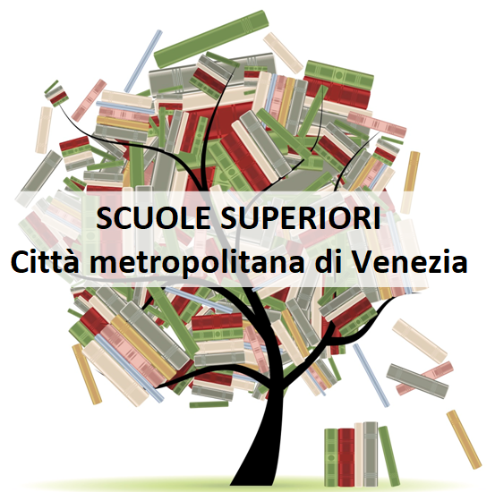
Istituti di istruzione superiore 

Description
Il webgis rappresenta gli Istituti di Istruzione Superiore statali presenti sul territorio della Città Metropolitana di Venezia.
I dati sono tenuti aggiornati dal Servizio Istruzione.
Per eventuali segnalazioni contattare: istruzione@cittametropolitana.ve.it
Per informazioni sulla consultazione della mappa: Istruzioni consultazione 

Organization
Città Metropolitana di Venezia 

Person
Loredana Bergo 

E-mail
loredana.bergo@cittametropolitana.ve.it 

Phone
+390412501814 

Projection
EPSG:3857 

Extent
1301161.41049999999813735, 5629188.7028999999165535, 1475384.58759999996982515, 5758881.5153999999165535

Web Map Service
WMS Url
WMTS Url

 Locating